Greenock Municipal Buildings carriageway
Introduction
The photograph on this page of Greenock Municipal Buildings carriageway by Thomas Nugent as part of the Geograph project.
The Geograph project started in 2005 with the aim of publishing, organising and preserving representative images for every square kilometre of Great Britain, Ireland and the Isle of Man.

There are currently over 7.5m images from over 14,400 individuals and you can help contribute to the project by visiting https://www.geograph.org.uk
Greenock Municipal Buildings carriageway
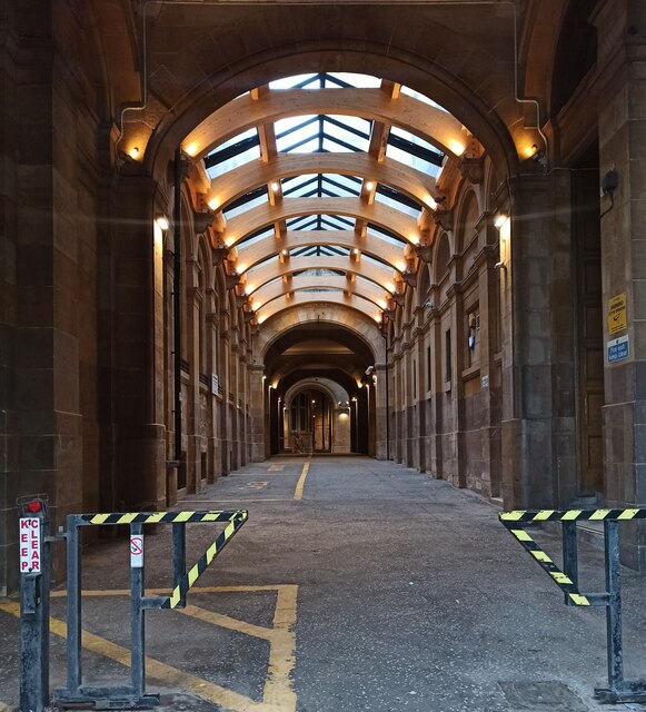
Image: © Thomas Nugent Taken: 8 Oct 2022
Looking in to the recently renovated carriageway from the Wallace Place entrance.
Images are licensed for reuse under creativecommons.org/licenses/by-sa/2.0
Image Location
Latitude
55.947765
Longitude
-4.756651