Maran Way, Thamesmead
Introduction
The photograph on this page of Maran Way, Thamesmead by Malc McDonald as part of the Geograph project.
The Geograph project started in 2005 with the aim of publishing, organising and preserving representative images for every square kilometre of Great Britain, Ireland and the Isle of Man.

There are currently over 7.5m images from over 14,400 individuals and you can help contribute to the project by visiting https://www.geograph.org.uk
Maran Way, Thamesmead
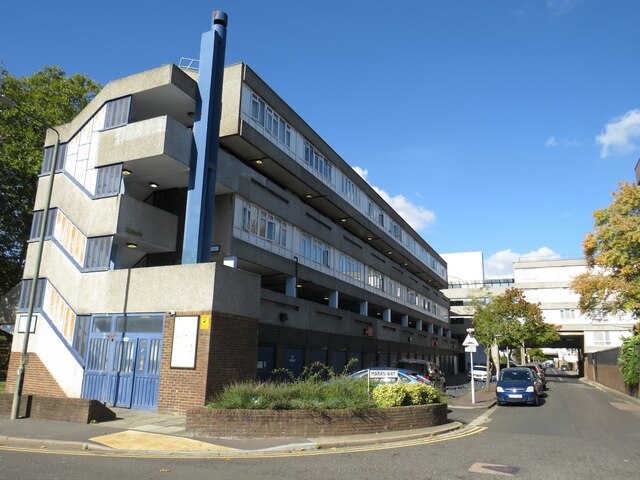
Image: © Malc McDonald Taken: 8 Oct 2022
Maran Way is part of the first phase of Thamesmead to be built, in the late 1960s or early 1970s.
Images are licensed for reuse under creativecommons.org/licenses/by-sa/2.0
Image Location
Latitude
51.491595
Longitude
0.12914