Totton recreation ground
Introduction
The photograph on this page of Totton recreation ground by John Lucas as part of the Geograph project.
The Geograph project started in 2005 with the aim of publishing, organising and preserving representative images for every square kilometre of Great Britain, Ireland and the Isle of Man.

There are currently over 7.5m images from over 14,400 individuals and you can help contribute to the project by visiting https://www.geograph.org.uk
Totton recreation ground
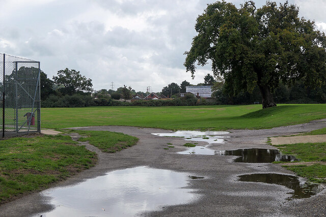
Image: © John Lucas Taken: 8 Sep 2022
The site of the Annual Totton Fair, which has been operating since the end of the 2nd World War, apart from during the covid hiatus.
Images are licensed for reuse under creativecommons.org/licenses/by-sa/2.0
Image Location
Latitude
50.912472
Longitude
-1.489874