Redland End near Great Hampden
Introduction
The photograph on this page of Redland End near Great Hampden by David Kemp as part of the Geograph project.
The Geograph project started in 2005 with the aim of publishing, organising and preserving representative images for every square kilometre of Great Britain, Ireland and the Isle of Man.

There are currently over 7.5m images from over 14,400 individuals and you can help contribute to the project by visiting https://www.geograph.org.uk
Redland End near Great Hampden
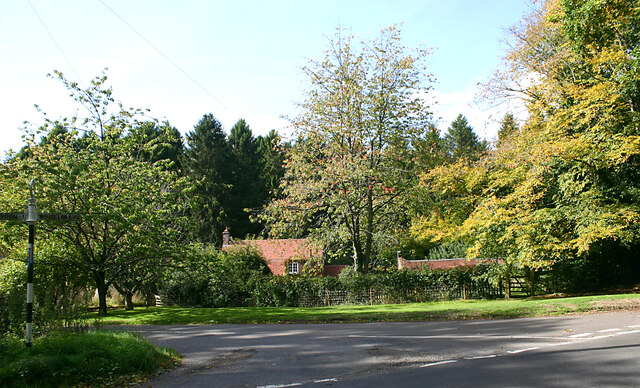
Image: © David Kemp Taken: 6 Oct 2022
Redland End comprises no more than a handful of dwellings set back from the road and partly hidden behind trees. Taken at the junction of Peters Lane (foreground) and a brief stretch of made-up road following the course of Grim's Ditch (left).
Images are licensed for reuse under creativecommons.org/licenses/by-sa/2.0
Image Location


Leaflet Map data © OpenStreetMap
Latitude
51.712156
Longitude
-0.79357