Crossroads south of Great Hampden
Introduction
The photograph on this page of Crossroads south of Great Hampden by David Kemp as part of the Geograph project.
The Geograph project started in 2005 with the aim of publishing, organising and preserving representative images for every square kilometre of Great Britain, Ireland and the Isle of Man.

There are currently over 7.5m images from over 14,400 individuals and you can help contribute to the project by visiting https://www.geograph.org.uk
Crossroads south of Great Hampden
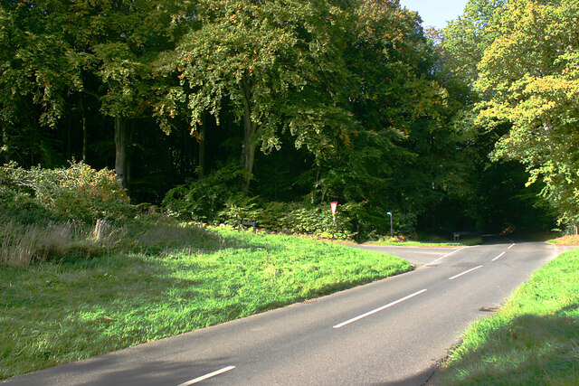
Image: © David Kemp Taken: 6 Oct 2022
Bryants Bottom Road is in the foreground and is crossed by Hampden Road. The sign indicates the footpath through Monkton Wood.
Images are licensed for reuse under creativecommons.org/licenses/by-sa/2.0
Image Location
Latitude
51.702583
Longitude
-0.7808