Toll House, Awre
Introduction
The photograph on this page of Toll House, Awre by Mr Red as part of the Geograph project.
The Geograph project started in 2005 with the aim of publishing, organising and preserving representative images for every square kilometre of Great Britain, Ireland and the Isle of Man.

There are currently over 7.5m images from over 14,400 individuals and you can help contribute to the project by visiting https://www.geograph.org.uk
Toll House, Awre
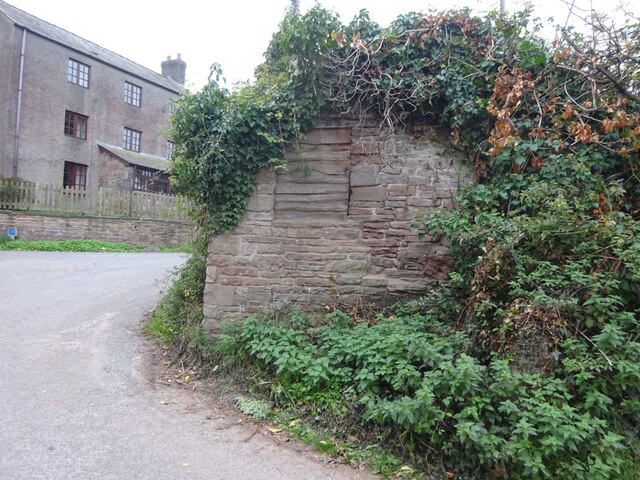
Image: © Mr Red Taken: 4 Oct 2022
The remains of a 19ᵗʰ C toll house on the corner of Etloe Road, in Upper Etloe, Awre (pronounced "or" locally and "ahr" by "Foresters"). At about 179 ft Above Sea Level. Milestone Society National ID: GL.AWR02
Images are licensed for reuse under creativecommons.org/licenses/by-sa/2.0
Image Location
Latitude
51.750193
Longitude
-2.473155