Footpath at Nuncargate
Introduction
The photograph on this page of Footpath at Nuncargate by Bill Boaden as part of the Geograph project.
The Geograph project started in 2005 with the aim of publishing, organising and preserving representative images for every square kilometre of Great Britain, Ireland and the Isle of Man.

There are currently over 7.5m images from over 14,400 individuals and you can help contribute to the project by visiting https://www.geograph.org.uk
Footpath at Nuncargate
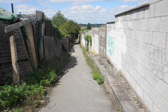
Image: © Bill Boaden Taken: 3 Aug 2022
The path passes behind the back of houses on each side, and certainly existed before the houses to the right were built.
Images are licensed for reuse under creativecommons.org/licenses/by-sa/2.0
Image Location
Latitude
53.081829
Longitude
-1.246953