Laverton, Greygarth Hill
Introduction
The photograph on this page of Laverton, Greygarth Hill by Mel Towler as part of the Geograph project.
The Geograph project started in 2005 with the aim of publishing, organising and preserving representative images for every square kilometre of Great Britain, Ireland and the Isle of Man.

There are currently over 7.5m images from over 14,400 individuals and you can help contribute to the project by visiting https://www.geograph.org.uk
Laverton, Greygarth Hill
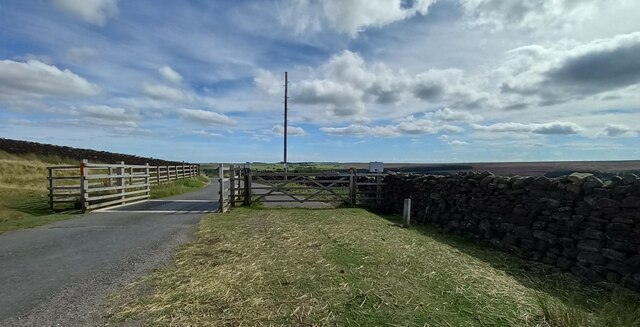
Image: © Mel Towler Taken: 21 Aug 2022
According to the OS benchmark database there was a benchmark cut into the roadside wall adjacent to the cattle grid. Nothing was found.
Images are licensed for reuse under creativecommons.org/licenses/by-sa/2.0
Image Location


Leaflet Map data © OpenStreetMap
Latitude
54.146292
Longitude
-1.719658