Abberton Reservoir from a permissive path; Near Layer-De-La Haye
Introduction
The photograph on this page of Abberton Reservoir from a permissive path; Near Layer-De-La Haye by Mr James D as part of the Geograph project.
The Geograph project started in 2005 with the aim of publishing, organising and preserving representative images for every square kilometre of Great Britain, Ireland and the Isle of Man.

There are currently over 7.5m images from over 14,400 individuals and you can help contribute to the project by visiting https://www.geograph.org.uk
Abberton Reservoir from a permissive path; Near Layer-De-La Haye
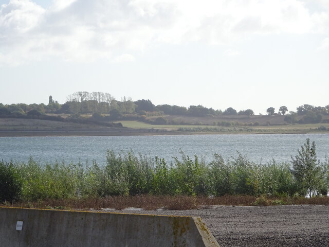
Image: © Mr James D Taken: 1 Oct 2022
This section of the path I only discovered last Saturday. I was soon to find out that it ended on a "private" section of Fields Farm Road!
Images are licensed for reuse under creativecommons.org/licenses/by-sa/2.0
Image Location
Latitude
51.839436
Longitude
0.880246