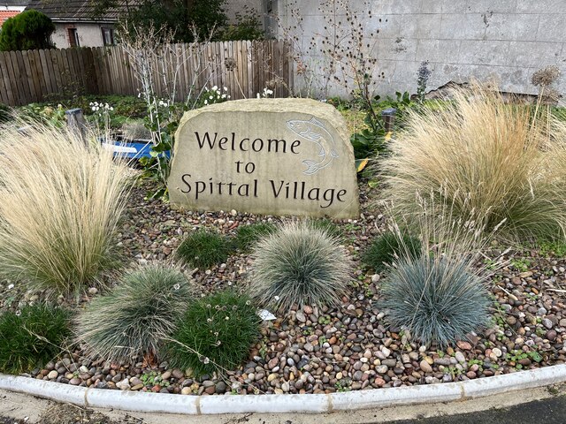
Spittal Village Sign
Introduction
The photograph on this page of Spittal Village Sign by Jennifer Petrie as part of the Geograph project.
The Geograph project started in 2005 with the aim of publishing, organising and preserving representative images for every square kilometre of Great Britain, Ireland and the Isle of Man.
There are currently over 7.5m images from over 14,400 individuals and you can help contribute to the project by visiting https://www.geograph.org.uk

Image: © Jennifer Petrie Taken: 4 Oct 2022
Spittal, a seaside village, located on the south side of the River Tweed, was formerly the centre of the herring industry. It then grew into a holiday resort in the early 19th century when visitors came to bathe in the sea and drink the waters from the Spa Well. Many new large stone houses and hotels were built and with the arrival of the railway, it became a popular holiday destination. Spittal has a long promenade giving wonderful sea views where dolphins can often be seen. It has one of the best sandy beaches in Northumberland.

