High Street (l) & Old Pier Street (r), Walton-on-the-Naze
Introduction
The photograph on this page of High Street (l) & Old Pier Street (r), Walton-on-the-Naze by David Kemp as part of the Geograph project.
The Geograph project started in 2005 with the aim of publishing, organising and preserving representative images for every square kilometre of Great Britain, Ireland and the Isle of Man.

There are currently over 7.5m images from over 14,400 individuals and you can help contribute to the project by visiting https://www.geograph.org.uk
High Street (l) & Old Pier Street (r), Walton-on-the-Naze
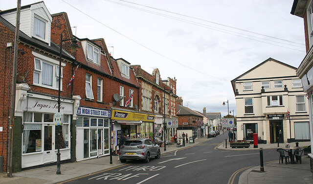
Image: © David Kemp Taken: 25 Sep 2022
The building in High Street at the end of the terrace is the former Town Hall built in 1900 and the building on the corner opposite is the former Portobello Hotel, another part of the town's early C19 development.
Images are licensed for reuse under creativecommons.org/licenses/by-sa/2.0
Image Location
Latitude
51.848657
Longitude
1.270319