River Blyth, Bedlington Country Park
Introduction
The photograph on this page of River Blyth, Bedlington Country Park by Geoff Holland as part of the Geograph project.
The Geograph project started in 2005 with the aim of publishing, organising and preserving representative images for every square kilometre of Great Britain, Ireland and the Isle of Man.

There are currently over 7.5m images from over 14,400 individuals and you can help contribute to the project by visiting https://www.geograph.org.uk
River Blyth, Bedlington Country Park
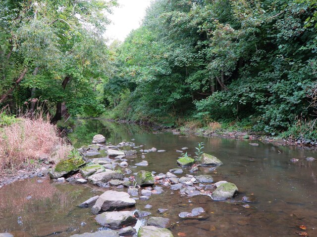
Image: © Geoff Holland Taken: 27 Sep 2022
The River Blyth flows eastwards through southern Northumberland into the North Sea, and is 27 miles (44 km) long. At this point the river has just flowed beneath Bedlington Bridge https://www.geograph.org.uk/photo/7296811.
Images are licensed for reuse under creativecommons.org/licenses/by-sa/2.0
Image Location
Latitude
55.126446
Longitude
-1.583623