Cross City Cycle Route development
Introduction
The photograph on this page of Cross City Cycle Route development by Alan Murray-Rust as part of the Geograph project.
The Geograph project started in 2005 with the aim of publishing, organising and preserving representative images for every square kilometre of Great Britain, Ireland and the Isle of Man.

There are currently over 7.5m images from over 14,400 individuals and you can help contribute to the project by visiting https://www.geograph.org.uk
Cross City Cycle Route development
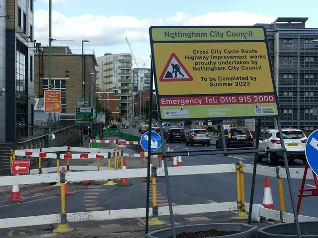
Image: © Alan Murray-Rust Taken: 23 Sep 2022
London Road at the junction with Station Street.
Images are licensed for reuse under creativecommons.org/licenses/by-sa/2.0
Image Location


Leaflet Map data © OpenStreetMap
Latitude
52.948334
Longitude
-1.140478