Stone Stile SW7342a
Introduction
The photograph on this page of Stone Stile SW7342a by Lesley Trotter as part of the Geograph project.
The Geograph project started in 2005 with the aim of publishing, organising and preserving representative images for every square kilometre of Great Britain, Ireland and the Isle of Man.

There are currently over 7.5m images from over 14,400 individuals and you can help contribute to the project by visiting https://www.geograph.org.uk
Stone Stile SW7342a
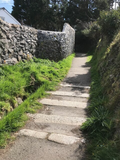
Image: © Lesley Trotter Taken: 7 Apr 2021
Bunts Lane, mid-way along the footpath. Coffen stile with gaps between stones filled in. Coffen stile – a stile built over a pit – like a granite cattle grid. Coffen is a Cornish word for a man-made hole in the ground. Public footpath SW226/9/1 gold from Bunts Lane to B3298.
Images are licensed for reuse under creativecommons.org/licenses/by-sa/2.0
Image Location
Latitude
50.242174
Longitude
-5.184253