Old Boundary Marker in Wollaton Park, Nottingham
Introduction
The photograph on this page of Old Boundary Marker in Wollaton Park, Nottingham by N Osmond as part of the Geograph project.
The Geograph project started in 2005 with the aim of publishing, organising and preserving representative images for every square kilometre of Great Britain, Ireland and the Isle of Man.

There are currently over 7.5m images from over 14,400 individuals and you can help contribute to the project by visiting https://www.geograph.org.uk
Old Boundary Marker in Wollaton Park, Nottingham
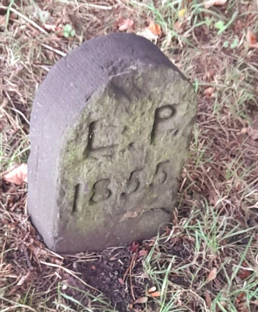
Image: © N Osmond Taken: 26 Sep 2022
Parish Boundary Marker against a metal fence on the dam of the lake in Wollaton Park, Nottingham. L P stands for Lenton Parish. This stands on the former boundary of Lenton parish (became part of Nottingham parish in 1897) and Wollaton parish (became part of Nottingham parish in 1933). See also https://www.geograph.org.uk/photo/6922300. Milestone Society National ID: NT_NOT35pb
Images are licensed for reuse under creativecommons.org/licenses/by-sa/2.0
Image Location
Latitude
52.940966
Longitude
-1.216396