Blanchland's old school
Introduction
The photograph on this page of Blanchland's old school by David M Clark as part of the Geograph project.
The Geograph project started in 2005 with the aim of publishing, organising and preserving representative images for every square kilometre of Great Britain, Ireland and the Isle of Man.

There are currently over 7.5m images from over 14,400 individuals and you can help contribute to the project by visiting https://www.geograph.org.uk
Blanchland's old school
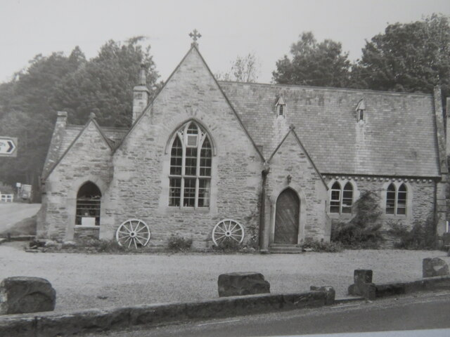
Image: © David M Clark Taken: 1 Jun 1992
The school closed in the 1980s but found new use as a tea-room serving the many visitors to the village.
Images are licensed for reuse under creativecommons.org/licenses/by-sa/2.0
Image Location
Latitude
54.848752
Longitude
-2.055411