Stone Stile SW7242e
Introduction
The photograph on this page of Stone Stile SW7242e by Lesley Trotter as part of the Geograph project.
The Geograph project started in 2005 with the aim of publishing, organising and preserving representative images for every square kilometre of Great Britain, Ireland and the Isle of Man.

There are currently over 7.5m images from over 14,400 individuals and you can help contribute to the project by visiting https://www.geograph.org.uk
Stone Stile SW7242e
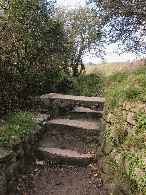
Image: © Lesley Trotter Taken: 7 Apr 2021
Outskirts of St Day, part way along footpath. Cattle stile. Public footpath 226/10/2 gold from Wheal Gorland Road to Pink Moors.
Images are licensed for reuse under creativecommons.org/licenses/by-sa/2.0
Image Location
Latitude
50.240769
Longitude
-5.188578