Boroughgate (B6260), Appleby
Introduction
The photograph on this page of Boroughgate (B6260), Appleby by habiloid as part of the Geograph project.
The Geograph project started in 2005 with the aim of publishing, organising and preserving representative images for every square kilometre of Great Britain, Ireland and the Isle of Man.

There are currently over 7.5m images from over 14,400 individuals and you can help contribute to the project by visiting https://www.geograph.org.uk
Boroughgate (B6260), Appleby
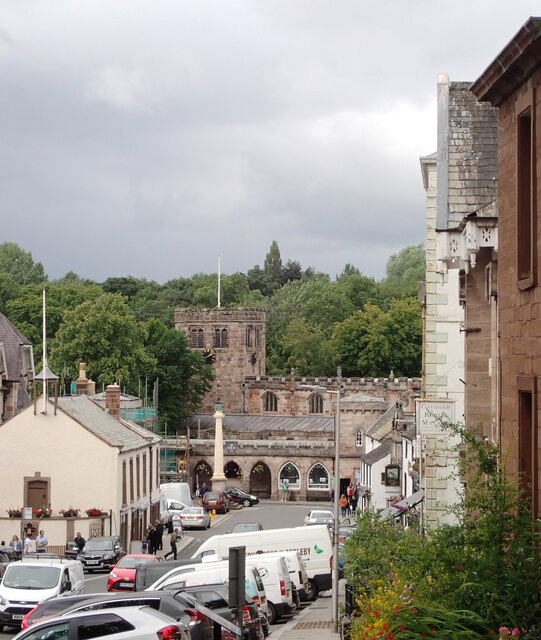
Image: © habiloid Taken: 30 Jul 2022
The white building on the left is the Moot Hall and St. Lawrence's Church is at the end of the street.
Images are licensed for reuse under creativecommons.org/licenses/by-sa/2.0
Image Location
Latitude
54.577451
Longitude
-2.491144