Brunton Road, Kingston Park
Introduction
The photograph on this page of Brunton Road, Kingston Park by Graham Robson as part of the Geograph project.
The Geograph project started in 2005 with the aim of publishing, organising and preserving representative images for every square kilometre of Great Britain, Ireland and the Isle of Man.

There are currently over 7.5m images from over 14,400 individuals and you can help contribute to the project by visiting https://www.geograph.org.uk
Brunton Road, Kingston Park
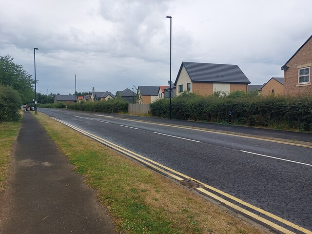
Image: © Graham Robson Taken: 17 Jul 2022
A large development of new houses has been built on formerly agricultural land on the north side of the road.
Images are licensed for reuse under creativecommons.org/licenses/by-sa/2.0
Image Location
Latitude
55.020038
Longitude
-1.667306