Paul Lane at Linfit Lane Top
Introduction
The photograph on this page of Paul Lane at Linfit Lane Top by Richard Kay as part of the Geograph project.
The Geograph project started in 2005 with the aim of publishing, organising and preserving representative images for every square kilometre of Great Britain, Ireland and the Isle of Man.

There are currently over 7.5m images from over 14,400 individuals and you can help contribute to the project by visiting https://www.geograph.org.uk
Paul Lane at Linfit Lane Top
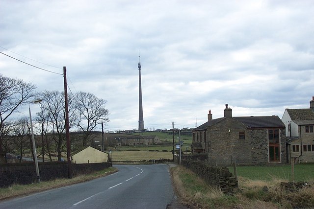
Image: © Richard Kay Taken: 18 Mar 2008
Linfit Lane joins Paul Lane from behind the buildings on the right. Emley Moor transmitter mast in Grid Square Image is straight ahead.
Images are licensed for reuse under creativecommons.org/licenses/by-sa/2.0
Image Location
Latitude
53.626234
Longitude
-1.675787