Mottram Road
Introduction
The photograph on this page of Mottram Road by Gerald England as part of the Geograph project.
The Geograph project started in 2005 with the aim of publishing, organising and preserving representative images for every square kilometre of Great Britain, Ireland and the Isle of Man.

There are currently over 7.5m images from over 14,400 individuals and you can help contribute to the project by visiting https://www.geograph.org.uk
Mottram Road
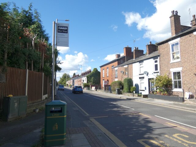
Image: © Gerald England Taken: 16 Sep 2022
The A57 towards Hyde. The fourth house along on the right is the Grade II listed https://historicengland.org.uk/listing/the-list/list-entry/1268420?section=official-list-entry Brookbank House that was built in 1837 by the local Hibbert family. It is now used as a day nursery.
Images are licensed for reuse under creativecommons.org/licenses/by-sa/2.0
Image Location
Latitude
53.451384
Longitude
-2.062301