Footpath Gate near Burleaze Farm
Introduction
The photograph on this page of Footpath Gate near Burleaze Farm by Nigel Mykura as part of the Geograph project.
The Geograph project started in 2005 with the aim of publishing, organising and preserving representative images for every square kilometre of Great Britain, Ireland and the Isle of Man.

There are currently over 7.5m images from over 14,400 individuals and you can help contribute to the project by visiting https://www.geograph.org.uk
Footpath Gate near Burleaze Farm
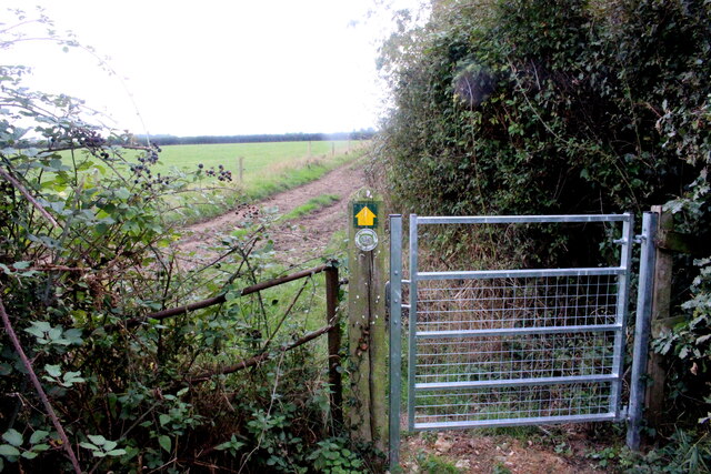
Image: © Nigel Mykura Taken: 22 Sep 2022
This footpath leads south from the Cad Rd between Old Way and Cad Green, towards the Ilminster bypass. It appears as though the bypass has truncated the footpath . The footpath used to run to Eames Mill on the River Isle
Images are licensed for reuse under creativecommons.org/licenses/by-sa/2.0
Image Location


Leaflet Map data © OpenStreetMap
Latitude
50.948047
Longitude
-2.913694