Rough grazing land between woodland and housing estate
Introduction
The photograph on this page of Rough grazing land between woodland and housing estate by Trevor Littlewood as part of the Geograph project.
The Geograph project started in 2005 with the aim of publishing, organising and preserving representative images for every square kilometre of Great Britain, Ireland and the Isle of Man.

There are currently over 7.5m images from over 14,400 individuals and you can help contribute to the project by visiting https://www.geograph.org.uk
Rough grazing land between woodland and housing estate
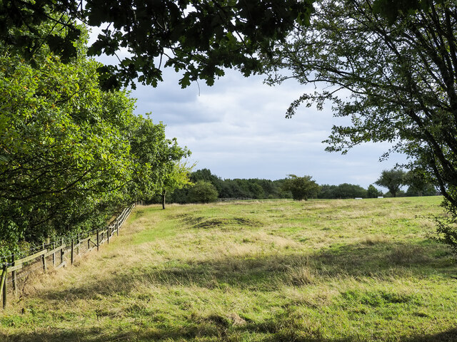
Image: © Trevor Littlewood Taken: 21 Sep 2022
The woodland is at the eastern side of the field and has a footpath at its edge. The housing estate is out of view in the image, across the field to the right.
Images are licensed for reuse under creativecommons.org/licenses/by-sa/2.0
Image Location
Latitude
53.049113
Longitude
-2.227896