Junction at Shaftenhoe End
Introduction
The photograph on this page of Junction at Shaftenhoe End by John Sutton as part of the Geograph project.
The Geograph project started in 2005 with the aim of publishing, organising and preserving representative images for every square kilometre of Great Britain, Ireland and the Isle of Man.

There are currently over 7.5m images from over 14,400 individuals and you can help contribute to the project by visiting https://www.geograph.org.uk
Junction at Shaftenhoe End
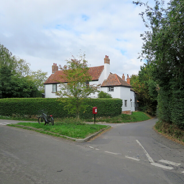
Image: © John Sutton Taken: 19 Sep 2022
Bogmoor Road, to the left, leads to Barkway, Shaftenhoe End Road, to the right, to Barley. The road behind the camera takes you to Great Chishill or Langley.
Images are licensed for reuse under creativecommons.org/licenses/by-sa/2.0
Image Location
Latitude
52.021571
Longitude
0.050442