Sloping fields off Mundaydean Lane
Introduction
The photograph on this page of Sloping fields off Mundaydean Lane by Peter S as part of the Geograph project.
The Geograph project started in 2005 with the aim of publishing, organising and preserving representative images for every square kilometre of Great Britain, Ireland and the Isle of Man.

There are currently over 7.5m images from over 14,400 individuals and you can help contribute to the project by visiting https://www.geograph.org.uk
Sloping fields off Mundaydean Lane
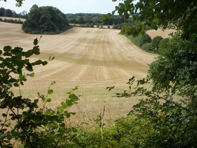
Image: © Peter S Taken: 17 Jul 2022
A steep path leads down through woodland towards Mundaydean Lane before another steep ascent up the other side of the dry valley.
Images are licensed for reuse under creativecommons.org/licenses/by-sa/2.0
Image Location
Latitude
51.580347
Longitude
-0.803268