Hall Close, Stoneleigh
Introduction
The photograph on this page of Hall Close, Stoneleigh by Robin Stott as part of the Geograph project.
The Geograph project started in 2005 with the aim of publishing, organising and preserving representative images for every square kilometre of Great Britain, Ireland and the Isle of Man.

There are currently over 7.5m images from over 14,400 individuals and you can help contribute to the project by visiting https://www.geograph.org.uk
Hall Close, Stoneleigh
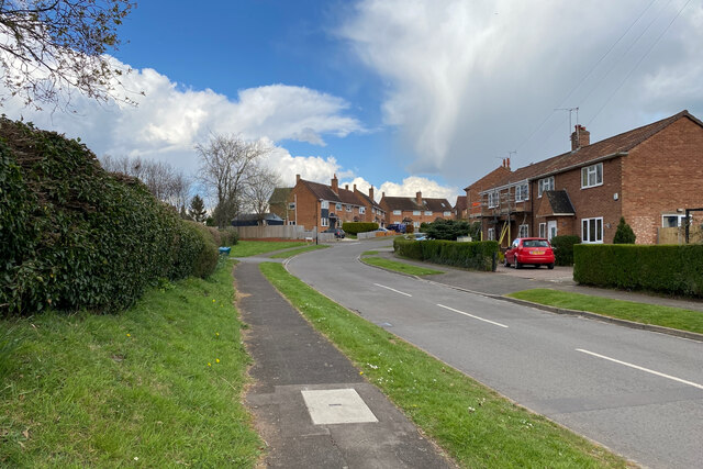
Image: © Robin Stott Taken: 8 Apr 2022
This has the look of local authority housing. Behind the hedge, left, are the school, tennis courts and a playing field. A wintry April shower is about to hit.
Images are licensed for reuse under creativecommons.org/licenses/by-sa/2.0
Image Location
Latitude
52.353814
Longitude
-1.518527