Council housing in Norton, Stourbridge
Introduction
The photograph on this page of Council housing in Norton, Stourbridge by Oliver Mills as part of the Geograph project.
The Geograph project started in 2005 with the aim of publishing, organising and preserving representative images for every square kilometre of Great Britain, Ireland and the Isle of Man.

There are currently over 7.5m images from over 14,400 individuals and you can help contribute to the project by visiting https://www.geograph.org.uk
Council housing in Norton, Stourbridge
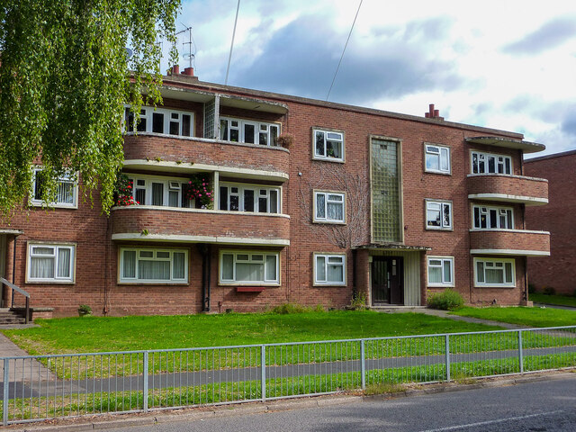
Image: © Oliver Mills Taken: 18 Sep 2022
Located on The Broadway, running through a suburban area to the South of Stourbridge Centre. The road was lined on both sides with similar blocks to this, undoubtedly dating to the 1930s.
Images are licensed for reuse under creativecommons.org/licenses/by-sa/2.0
Image Location
Latitude
52.447636
Longitude
-2.164745