North Down Coastal Path near Smelt Mill Bay
Introduction
The photograph on this page of North Down Coastal Path near Smelt Mill Bay by Rossographer as part of the Geograph project.
The Geograph project started in 2005 with the aim of publishing, organising and preserving representative images for every square kilometre of Great Britain, Ireland and the Isle of Man.

There are currently over 7.5m images from over 14,400 individuals and you can help contribute to the project by visiting https://www.geograph.org.uk
North Down Coastal Path near Smelt Mill Bay
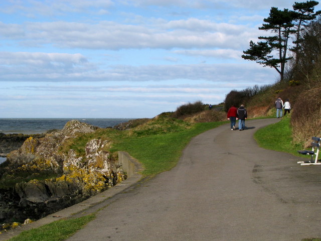
Image: © Rossographer Taken: 16 Mar 2008
Looking towards Bangor, the North Down Coastal Path at Smelt Mill Bay near Stricklands Glen.
Images are licensed for reuse under creativecommons.org/licenses/by-sa/2.0
Image Location


Leaflet Map data © OpenStreetMap
Latitude
54.665852
Longitude
-5.690196