Steps up from the B3081, Bruton
Introduction
The photograph on this page of Steps up from the B3081, Bruton by Jaggery as part of the Geograph project.
The Geograph project started in 2005 with the aim of publishing, organising and preserving representative images for every square kilometre of Great Britain, Ireland and the Isle of Man.

There are currently over 7.5m images from over 14,400 individuals and you can help contribute to the project by visiting https://www.geograph.org.uk
Steps up from the B3081, Bruton
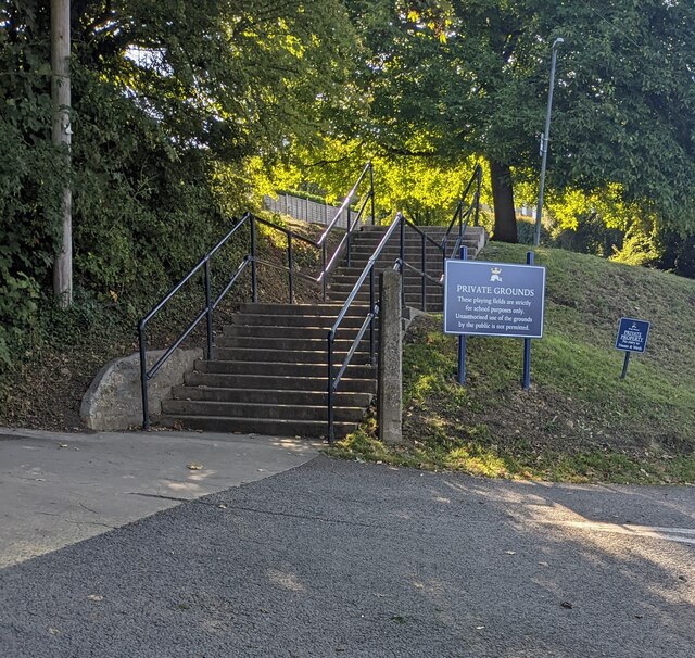
Image: © Jaggery Taken: 17 Sep 2022
The King's Bruton notice alongside the steps shows "PRIVATE GROUNDS These playing fields are strictly for school purposes only. Unauthorised use of the grounds by the public is not permitted"
Images are licensed for reuse under creativecommons.org/licenses/by-sa/2.0
Image Location
Latitude
51.110279
Longitude
-2.449632