Wodeland Avenue
Introduction
The photograph on this page of Wodeland Avenue by Ian Capper as part of the Geograph project.
The Geograph project started in 2005 with the aim of publishing, organising and preserving representative images for every square kilometre of Great Britain, Ireland and the Isle of Man.

There are currently over 7.5m images from over 14,400 individuals and you can help contribute to the project by visiting https://www.geograph.org.uk
Wodeland Avenue
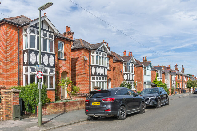
Image: © Ian Capper Taken: 12 Sep 2022
c. Early 20th Century housing in Wodeland Avenue, first shown on the 1916 25 inch map. On that map, the road was marked as Wodeland Road, with the current name being shown on the 1929 1:2,500 map.
Images are licensed for reuse under creativecommons.org/licenses/by-sa/2.0
Image Location
Latitude
51.233879
Longitude
-0.583757