Annandale Road
Introduction
The photograph on this page of Annandale Road by Ian Capper as part of the Geograph project.
The Geograph project started in 2005 with the aim of publishing, organising and preserving representative images for every square kilometre of Great Britain, Ireland and the Isle of Man.

There are currently over 7.5m images from over 14,400 individuals and you can help contribute to the project by visiting https://www.geograph.org.uk
Annandale Road
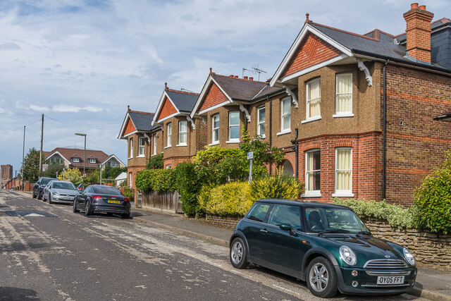
Image: © Ian Capper Taken: 12 Sep 2022
c.Early 20th Century housing in Annandale Road, first shown on the 1916 25 inch map. In the far left background is the tower of Guildford Cathedral.
Images are licensed for reuse under creativecommons.org/licenses/by-sa/2.0
Image Location
Latitude
51.233975
Longitude
-0.586419