Pavement by flats, Althorne Way, 2011
Introduction
The photograph on this page of Pavement by flats, Althorne Way, 2011 by Robin Webster as part of the Geograph project.
The Geograph project started in 2005 with the aim of publishing, organising and preserving representative images for every square kilometre of Great Britain, Ireland and the Isle of Man.

There are currently over 7.5m images from over 14,400 individuals and you can help contribute to the project by visiting https://www.geograph.org.uk
Pavement by flats, Althorne Way, 2011
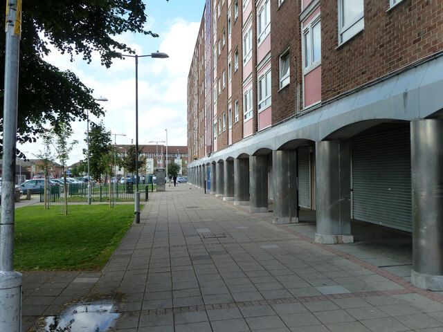
Image: © Robin Webster Taken: 25 Jun 2011
The flats are now demolished and replaced with a terrace of houses set further left, on top of this pavement.
Images are licensed for reuse under creativecommons.org/licenses/by-sa/2.0
Image Location
Latitude
51.560449
Longitude
0.150534