Bellies Brae, Kirriemuir
Introduction
The photograph on this page of Bellies Brae, Kirriemuir by Gwen and James Anderson as part of the Geograph project.
The Geograph project started in 2005 with the aim of publishing, organising and preserving representative images for every square kilometre of Great Britain, Ireland and the Isle of Man.

There are currently over 7.5m images from over 14,400 individuals and you can help contribute to the project by visiting https://www.geograph.org.uk
Bellies Brae, Kirriemuir
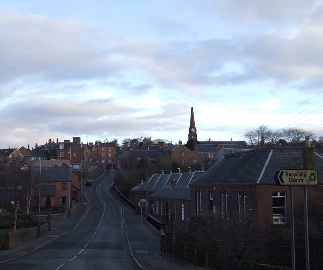
Image: © Gwen and James Anderson Taken: 16 Mar 2008
Taken in the early morning light. Wilkies is on the rights and the town centre at the top of the brae.
Images are licensed for reuse under creativecommons.org/licenses/by-sa/2.0
Image Location
Latitude
56.672091
Longitude
-3.004031