Along Woodmarsh
Introduction
The photograph on this page of Along Woodmarsh by Neil Owen as part of the Geograph project.
The Geograph project started in 2005 with the aim of publishing, organising and preserving representative images for every square kilometre of Great Britain, Ireland and the Isle of Man.

There are currently over 7.5m images from over 14,400 individuals and you can help contribute to the project by visiting https://www.geograph.org.uk
Along Woodmarsh
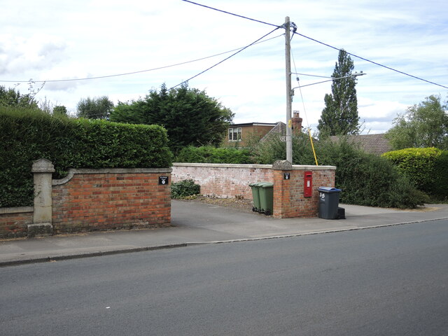
Image: © Neil Owen Taken: 4 Aug 2022
The road out of Trowbridge runs through Woodmarsh and North Bradley; in times past it was the A363 until the new roundabouts and bypass were built. A residence on the road bears a benchmark - see Image
Images are licensed for reuse under creativecommons.org/licenses/by-sa/2.0
Image Location
Latitude
51.29853
Longitude
-2.208211