St. Alban's Church, Tattenhall
Introduction
The photograph on this page of St. Alban's Church, Tattenhall by Brian Deegan as part of the Geograph project.
The Geograph project started in 2005 with the aim of publishing, organising and preserving representative images for every square kilometre of Great Britain, Ireland and the Isle of Man.

There are currently over 7.5m images from over 14,400 individuals and you can help contribute to the project by visiting https://www.geograph.org.uk
St. Alban's Church, Tattenhall
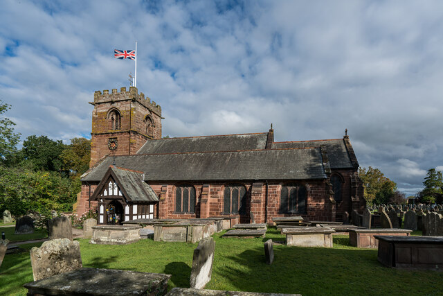
Image: © Brian Deegan Taken: 10 Sep 2022
It is thought that a church may have existed on this site at the time of the Norman conquest. The tower and parts of the present church date from the early 16th century. The church was restored and largely remodelled in 1869–70. During this time the remains of an earlier church which had been destroyed by fire were discovered. Also discovered were a skeleton of a large man outside the north wall and a coffin containing bones under the floor of the church. https://en.wikipedia.org/wiki/St_Alban%27s_Church,_Tattenhall
Images are licensed for reuse under creativecommons.org/licenses/by-sa/2.0
Image Location
Latitude
53.122085
Longitude
-2.768911