Lower Dingle, West Malvern
Introduction
The photograph on this page of Lower Dingle, West Malvern by Derek Harper as part of the Geograph project.
The Geograph project started in 2005 with the aim of publishing, organising and preserving representative images for every square kilometre of Great Britain, Ireland and the Isle of Man.

There are currently over 7.5m images from over 14,400 individuals and you can help contribute to the project by visiting https://www.geograph.org.uk
Lower Dingle, West Malvern
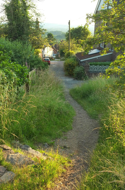
Image: © Derek Harper Taken: 14 Jul 2021
In the foreground a path with steps drops from the B4232 to meet the road, which is followed by West Malvern footpath 534(C). The white building is the Brewers Arms, shown at Image
Images are licensed for reuse under creativecommons.org/licenses/by-sa/2.0
Image Location


Leaflet Map data © OpenStreetMap
Latitude
52.108759
Longitude
-2.346157