Emerging track
Introduction
The photograph on this page of Emerging track by Richard Webb as part of the Geograph project.
The Geograph project started in 2005 with the aim of publishing, organising and preserving representative images for every square kilometre of Great Britain, Ireland and the Isle of Man.

There are currently over 7.5m images from over 14,400 individuals and you can help contribute to the project by visiting https://www.geograph.org.uk
Emerging track
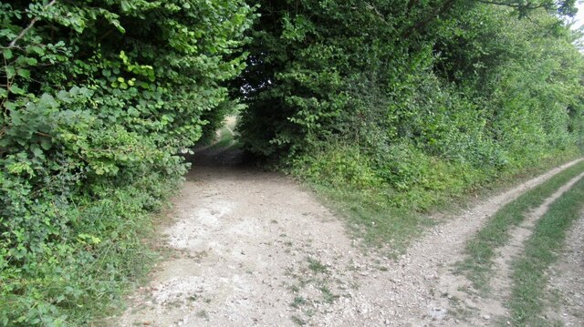
Image: © Richard Webb Taken: 31 Aug 2022
At the corner of Great Yews woodland, a farm track is almost overgrown for a short while at this junction.
Images are licensed for reuse under creativecommons.org/licenses/by-sa/2.0
Image Location


Leaflet Map data © OpenStreetMap
Latitude
51.003657
Longitude
-1.831492