The A497 at Pentrefelin
Introduction
The photograph on this page of The A497 at Pentrefelin by Bill Harrison as part of the Geograph project.
The Geograph project started in 2005 with the aim of publishing, organising and preserving representative images for every square kilometre of Great Britain, Ireland and the Isle of Man.

There are currently over 7.5m images from over 14,400 individuals and you can help contribute to the project by visiting https://www.geograph.org.uk
The A497 at Pentrefelin
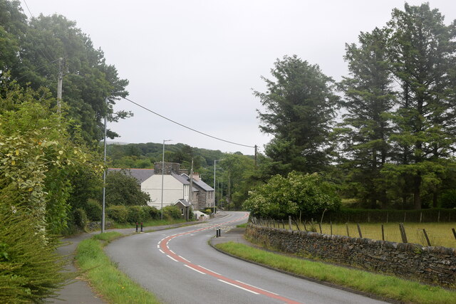
Image: © Bill Harrison Taken: 6 Jul 2022
The A497 is the main road through the southern part of the Llyn peninsula: https://www.sabre-roads.org.uk/wiki/index.php?title=A497 and is usually busy with holiday traffic, but was caught here at a quiet moment.
Images are licensed for reuse under creativecommons.org/licenses/by-sa/2.0
Image Location
Latitude
52.933547
Longitude
-4.197223