River Wey Navigation - Murray's Bridge
Introduction
The photograph on this page of River Wey Navigation - Murray's Bridge by Robin Webster as part of the Geograph project.
The Geograph project started in 2005 with the aim of publishing, organising and preserving representative images for every square kilometre of Great Britain, Ireland and the Isle of Man.

There are currently over 7.5m images from over 14,400 individuals and you can help contribute to the project by visiting https://www.geograph.org.uk
River Wey Navigation - Murray's Bridge
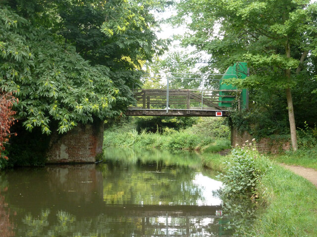
Image: © Robin Webster Taken: 13 Sep 2015
A wooden span that appears to be fenced off. There is no right of way.
Images are licensed for reuse under creativecommons.org/licenses/by-sa/2.0
Image Location
Latitude
51.332992
Longitude
-0.485878