Sluices on Mearley Brook (1)
Introduction
The photograph on this page of Sluices on Mearley Brook (1) by Stephen Craven as part of the Geograph project.
The Geograph project started in 2005 with the aim of publishing, organising and preserving representative images for every square kilometre of Great Britain, Ireland and the Isle of Man.

There are currently over 7.5m images from over 14,400 individuals and you can help contribute to the project by visiting https://www.geograph.org.uk
Sluices on Mearley Brook (1)
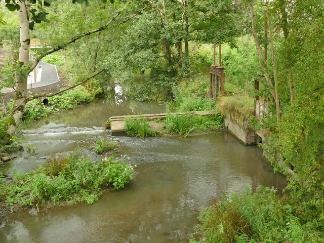
Image: © Stephen Craven Taken: 23 Aug 2022
Within the Primrose Nature Reserve are sluices that took water from the brook to power local mills from 1787 to as late as 1963 (information from an interpretation board on the site).
Images are licensed for reuse under creativecommons.org/licenses/by-sa/2.0
Image Location
Latitude
53.865548
Longitude
-2.396391