Brookside Place
Introduction
The photograph on this page of Brookside Place by Ian Capper as part of the Geograph project.
The Geograph project started in 2005 with the aim of publishing, organising and preserving representative images for every square kilometre of Great Britain, Ireland and the Isle of Man.

There are currently over 7.5m images from over 14,400 individuals and you can help contribute to the project by visiting https://www.geograph.org.uk
Brookside Place
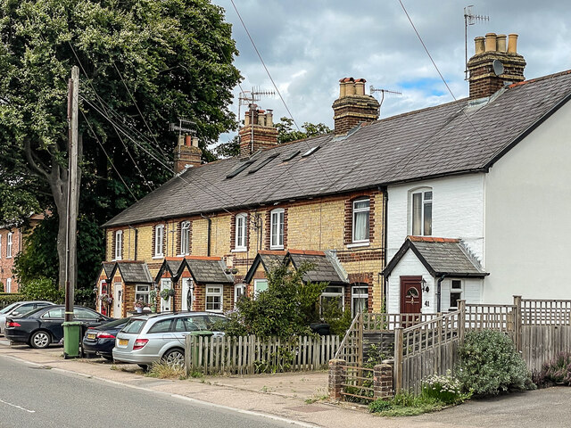
Image: © Ian Capper Taken: 25 Jul 2022
Terrace of cottages at 29 - 41 Middle Street, with a date plaque of 1870. The brook, an unnamed short stream, runs between the two fences on the right of the photo.
Images are licensed for reuse under creativecommons.org/licenses/by-sa/2.0
Image Location
Latitude
51.228777
Longitude
-0.284417