Seaford from the coastal path
Introduction
The photograph on this page of Seaford from the coastal path by David M Clark as part of the Geograph project.
The Geograph project started in 2005 with the aim of publishing, organising and preserving representative images for every square kilometre of Great Britain, Ireland and the Isle of Man.

There are currently over 7.5m images from over 14,400 individuals and you can help contribute to the project by visiting https://www.geograph.org.uk
Seaford from the coastal path
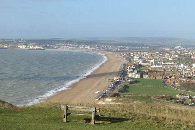
Image: © David M Clark Taken: 30 Nov 2018
The Vanguard Way ends its long journey from Croydon with a steep descent to Seaford. Newhaven in the distance.
Images are licensed for reuse under creativecommons.org/licenses/by-sa/2.0
Image Location


Leaflet Map data © OpenStreetMap
Latitude
50.767166
Longitude
0.105155