King Fahad Academy teaching block
Introduction
The photograph on this page of King Fahad Academy teaching block by David Hawgood as part of the Geograph project.
The Geograph project started in 2005 with the aim of publishing, organising and preserving representative images for every square kilometre of Great Britain, Ireland and the Isle of Man.

There are currently over 7.5m images from over 14,400 individuals and you can help contribute to the project by visiting https://www.geograph.org.uk
King Fahad Academy teaching block
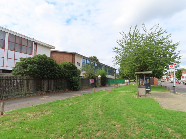
Image: © David Hawgood Taken: 29 Aug 2022
See Image for description, with view of mosque and minaret. The bus stop here is on East Acton Lane.
Images are licensed for reuse under creativecommons.org/licenses/by-sa/2.0
Image Location
Latitude
51.512276
Longitude
-0.251522