3, Tanners Hill
Introduction
The photograph on this page of 3, Tanners Hill by John Baker as part of the Geograph project.
The Geograph project started in 2005 with the aim of publishing, organising and preserving representative images for every square kilometre of Great Britain, Ireland and the Isle of Man.

There are currently over 7.5m images from over 14,400 individuals and you can help contribute to the project by visiting https://www.geograph.org.uk
3, Tanners Hill
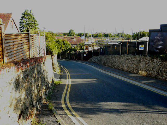
Image: © John Baker Taken: 7 Aug 2022
Planning permission has been approved, with conditions, by Folkestone and Hythe District Council under application number 20/0531/FH for the “demolition of existing dwelling and garage. Removal of conifer trees along north eastern site boundary. Proposed construction of three storey block of six apartments with parking, amenity spaces, bin & cycle stores”.
Images are licensed for reuse under creativecommons.org/licenses/by-sa/2.0
Image Location
Latitude
51.073292
Longitude
1.089099