Houses in Blackawton
Introduction
The photograph on this page of Houses in Blackawton by Derek Harper as part of the Geograph project.
The Geograph project started in 2005 with the aim of publishing, organising and preserving representative images for every square kilometre of Great Britain, Ireland and the Isle of Man.

There are currently over 7.5m images from over 14,400 individuals and you can help contribute to the project by visiting https://www.geograph.org.uk
Houses in Blackawton
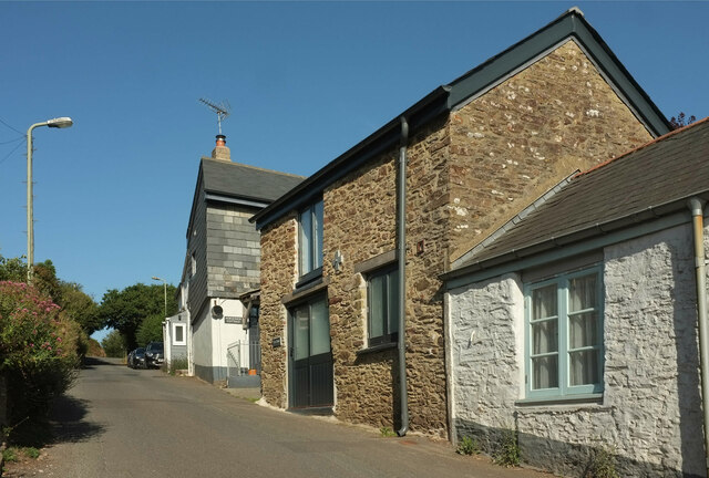
Image: © Derek Harper Taken: 30 Aug 2022
On the road above Normandy Cross leading to Trenchfirs Corner, and also seen in Image and Image NCN28 goes this way.
Images are licensed for reuse under creativecommons.org/licenses/by-sa/2.0
Image Location


Leaflet Map data © OpenStreetMap
Latitude
50.346879
Longitude
-3.678646