Stone tower on Hound Hill Lane
Introduction
The photograph on this page of Stone tower on Hound Hill Lane by Neil Theasby as part of the Geograph project.
The Geograph project started in 2005 with the aim of publishing, organising and preserving representative images for every square kilometre of Great Britain, Ireland and the Isle of Man.

There are currently over 7.5m images from over 14,400 individuals and you can help contribute to the project by visiting https://www.geograph.org.uk
Stone tower on Hound Hill Lane
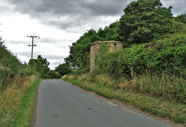
Image: © Neil Theasby Taken: 30 Aug 2022
It dates from 1642 and was created under the instructions of Richard Elmhirst, the owner of the adjacent property. He sided with royalists during The English Civil War.
Images are licensed for reuse under creativecommons.org/licenses/by-sa/2.0
Image Location
Latitude
53.533023
Longitude
-1.493796