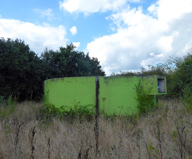
Silver Hill Covered Reservoir
Introduction
The photograph on this page of Silver Hill Covered Reservoir by Simon Carey as part of the Geograph project.
The Geograph project started in 2005 with the aim of publishing, organising and preserving representative images for every square kilometre of Great Britain, Ireland and the Isle of Man.
There are currently over 7.5m images from over 14,400 individuals and you can help contribute to the project by visiting https://www.geograph.org.uk

Image: © Simon Carey Taken: 26 Aug 2022
Only this structure is visible as all of the reservoir is underground. There are a couple of windows on the left hand side where it was possible to have a peak inside and spot a ladder descending into the depths. Prior to the construction of the reservoir this was the site of Silver Hill or Hedgelands Mill which was marked on Gardner & Gream's 1796 map and on the 1873 OS map. However, there was no mention on Salehurst's 1841 tithe apportionment though a circular shape was visible on the map. The mill had ceased operations by the time of the 1898 OS map.

