Street junction, Corbridge
Introduction
The photograph on this page of Street junction, Corbridge by Robert Graham as part of the Geograph project.
The Geograph project started in 2005 with the aim of publishing, organising and preserving representative images for every square kilometre of Great Britain, Ireland and the Isle of Man.

There are currently over 7.5m images from over 14,400 individuals and you can help contribute to the project by visiting https://www.geograph.org.uk
Street junction, Corbridge
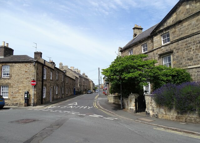
Image: © Robert Graham Taken: 11 Jul 2022
The junction of St Helens Street with Princes Street. Most of the houses here are 18th century, some are listed.
Images are licensed for reuse under creativecommons.org/licenses/by-sa/2.0
Image Location
Latitude
54.974841
Longitude
-2.016998