The finished articles on the former Beehive Inn site
Introduction
The photograph on this page of The finished articles on the former Beehive Inn site by Richard Law as part of the Geograph project.
The Geograph project started in 2005 with the aim of publishing, organising and preserving representative images for every square kilometre of Great Britain, Ireland and the Isle of Man.

There are currently over 7.5m images from over 14,400 individuals and you can help contribute to the project by visiting https://www.geograph.org.uk
The finished articles on the former Beehive Inn site
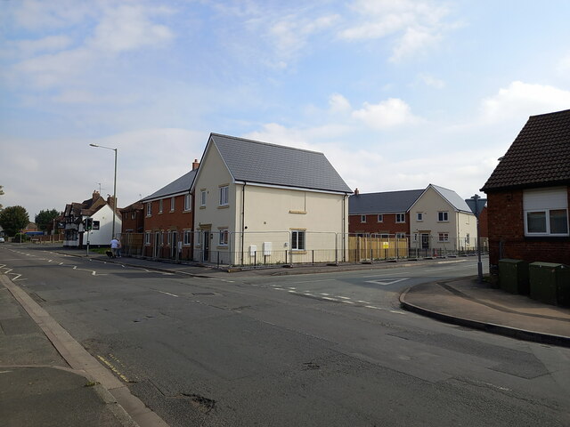
Image: © Richard Law Taken: 27 Aug 2022
Just over a year on from Image, and slightly less than that from Image, the new housing on the site of the pub looks to be pretty much finished, with just a bit of boundary fencing to be removed.
Images are licensed for reuse under creativecommons.org/licenses/by-sa/2.0
Image Location


Leaflet Map data © OpenStreetMap
Latitude
52.670383
Longitude
-2.372468