Former Methodist Sunday School, Higherford
Introduction
The photograph on this page of Former Methodist Sunday School, Higherford by Stephen Craven as part of the Geograph project.
The Geograph project started in 2005 with the aim of publishing, organising and preserving representative images for every square kilometre of Great Britain, Ireland and the Isle of Man.

There are currently over 7.5m images from over 14,400 individuals and you can help contribute to the project by visiting https://www.geograph.org.uk
Former Methodist Sunday School, Higherford
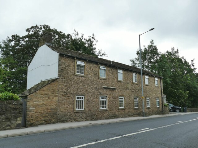
Image: © Stephen Craven Taken: 23 Aug 2022
Dated 1834, in residential use since 1972 (source: https://www.flickr.com/photos/rossendalewadey/5885068439 ). An early 20th century map shows a tram terminus outside; the tramway from Nelson opened in the early years of the century and closed in 1934.
Images are licensed for reuse under creativecommons.org/licenses/by-sa/2.0
Image Location
Latitude
53.856222
Longitude
-2.210523